A washout on a creek that regularly delivers torrents of mud and debris. So often the name of the creek is Mud Creek. The washout traps hundreds of campers and outdoor recreationists in a very popular backcountry area. SAR team and public safety members respond.
The Ministry of Forests posts KML of the location, but on a Google Map. The map posted does not show other roads, recreation sites, hazards, or topographical information of the area. What do we use for planning, and status mapping?
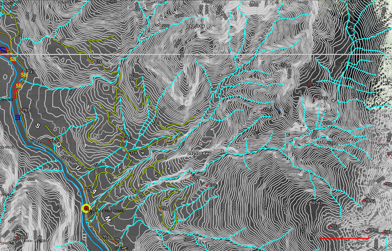
To create a comprehensive map of the location of the washout, we download the KML, and import it into TrueNorth.
Then we add a WMS layer configured to retrieve data from the GeoBC WMS Server, using the “QuickBase” layer that contains general roads, contours, wetlands and other basic information for 1:20,000 scale.
Then we add a tile layer showing ArcGIS World Imagery data, just to give us some idea of the forest cover.
The resulting map, created in under one minute, is ready for status mapping, and can be printed and given to first responders and field teams. If necessary, it can be exported as GeoPDF and sent with mobile mapping applications on an iPad or Android device running Avenza PDF Maps.
[lightbox title=”Map showing imported KML, overlaid on WMS data, overlaid on satellite tile data.” href=”/wp-content/uploads/2014/06/Mud-Creek-washout.png”]
 [/lightbox]
