The GPX import plugin was a no-brainer to write, so it’s been done and operating smoothly for a long time. In fact, the GPX standard and the data fields it supports helped to inspire some of the data structures within TrueNorth itself.

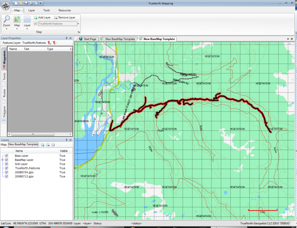
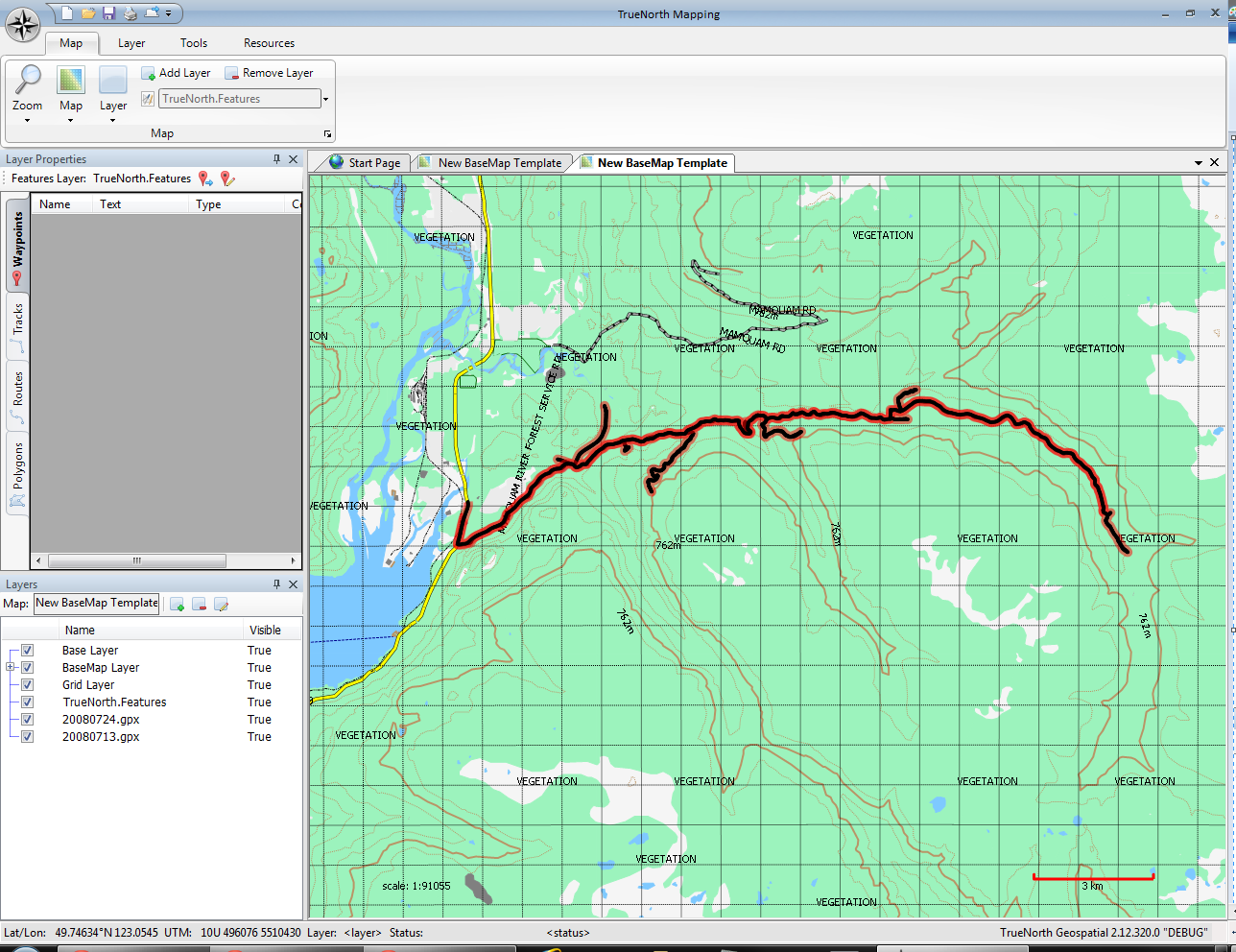
This screenshot shows the results of a GPX file import. The data came from a Garmin 60CSx. I drove the Mamquam river near Squamish, BC and explored some of the spur roads.
Also in the screen shot you can see a list of the layers active in the map. Layers are one of the major features of TrueNorth; at the moment, every time you import data from a file, the data goes into a new layer. Later on we’ll add the ability to choose either a new layer, or an existing layer for imports. In the screenshot you can see
- A “Base Layer” which is virtual, and will be hidden in the final release.
- The BaseMap layer; this contains the topographic data you can see including the roads, rivers, lakes and land cover.
- The Grid Layer; this contains the UTM grid you can see overlaid on the map
- 20080724.gpx; this is the name of file the data was imported from. In Garmin GPS units, the track files are named using the date, so this file comes from August 24th, 2008.
- 20080713.gpx: another GPX import, not currently visible on the map
You can also see the layer properties view which eventually will show a list of all of the waypoints, tracks, routes and polygons on a layer. This is under development.

Leave a Reply
You must be logged in to post a comment.