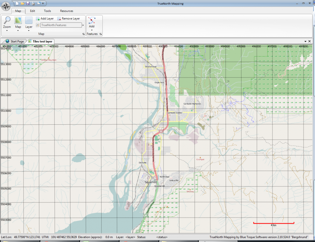
In the past two days we’ve implemented an OpenStreetMap layer that polls imagery (tiles) down from the OpenStreetMap servers. You can use OSM, and other “tile servers” such as Google Maps, Bing Maps, and even ArcGis Tile Server.
Screenshot below
Unlike the last post, this is a true screen shot, showing some of the UI. If it looks a little thin, don’t worry; the application makes extensive use of docking windows. The great thing about that is when you don’t need them, they’re hidden; when you do need them, they show up as tabs along the top, bottom and sides of the main window.

[…] to fix; some eagle-eyed readers may have noticed that the scale bar was incorrect in the previous two screenshots. In the process of fixing the bug we found that it was useful to compare the same area […]