[iconbox icon=”print” iconSize=”default” type=”inline”][/iconbox] Professional Quality Printing
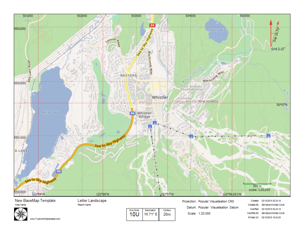
Many products leave this important feature out, and leave the user hanging – able to see the map, but with only the most primitive output options. People end up taking screenshots, pasting them into image editing software, and printing from there. This results in maps where the scale is wrong, there’s no declination printed on the map, and the grid is either left off altogether, or the reference numbers are cropped out.
Printing in TrueNorth consists of three steps.
[process_steps type=”horizontal” size=”small”]
[process_step title=”Printer” icon=”print”]Select the printer[/process_step]
[process_step title=”Scale” icon=”search-plus”]Select the scale[/process_step]
[process_step title=”Paper” icon=”file-o”]Select the page size and orientation[/process_step]
[/process_steps]

The developers at TrueNorth Geospatial realize that having a map you can use for navigation is a deadly serious business, and deficiencies in a map can lead to life threatening situations. A paper map doesn’t need batteries or a cell signal, and neither does a compass. When the going gets tough, it’s back to basics and a map and compass are still state of the art navigation tools.
It you are as deadly serious about backcountry navigation as we are, you need TrueNorth’s professional quality output.
